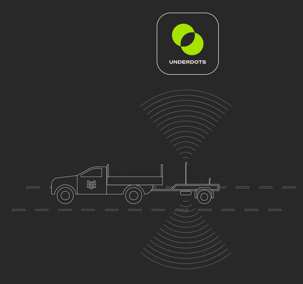
MEET UNDERDOTS
Underdots is a fully-automated data processing service that turns raw ground-penetrating radar data into actionable insights. Get more value from your subsurface utility investigations budget, save time and minimize rework.
Underdots
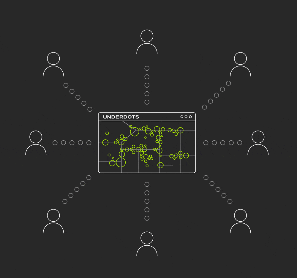
Underdots can process any point-cloud files and export to any major format. The most popular use cases for Underdots are mapping through concrete and rapidly mapping utilities. If you have a use case beyond these, we'd love to explore it with you.

Utilities
Underdots
Hours, not days.
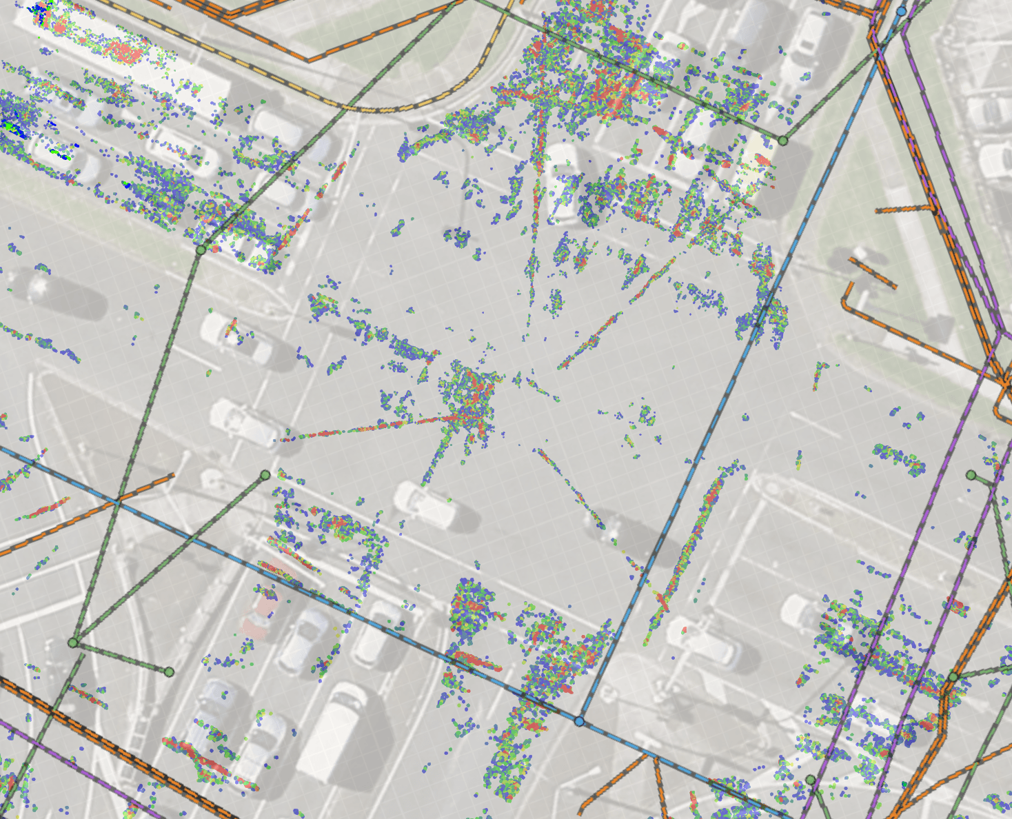
Underdots automation can produce 3D subsurface visuals within hours. Giving planners and designers early visibility into underground conditions. It enables fast triage of high-risk areas and helps guide where further investigation is needed—right from the start of a project.
Informed decisions.
By scanning large areas non-invasively, Underdots reveals potential underground conflicts not shown in existing records. It’s an ideal early-phase tool to flag risk zones, reduce reliance on invasive surveys, and avoid surprises during construction.
Low cost, large scale.
Underdots offers a low-cost way to scan extensive project areas quickly. It helps prioritise spend by identifying where detailed investigations are truly needed—reducing unnecessary potholing and survey duplication across your project.