


👋 It looks like you’re visiting from outside New Zealand. Switch to our international website?
Our Partners
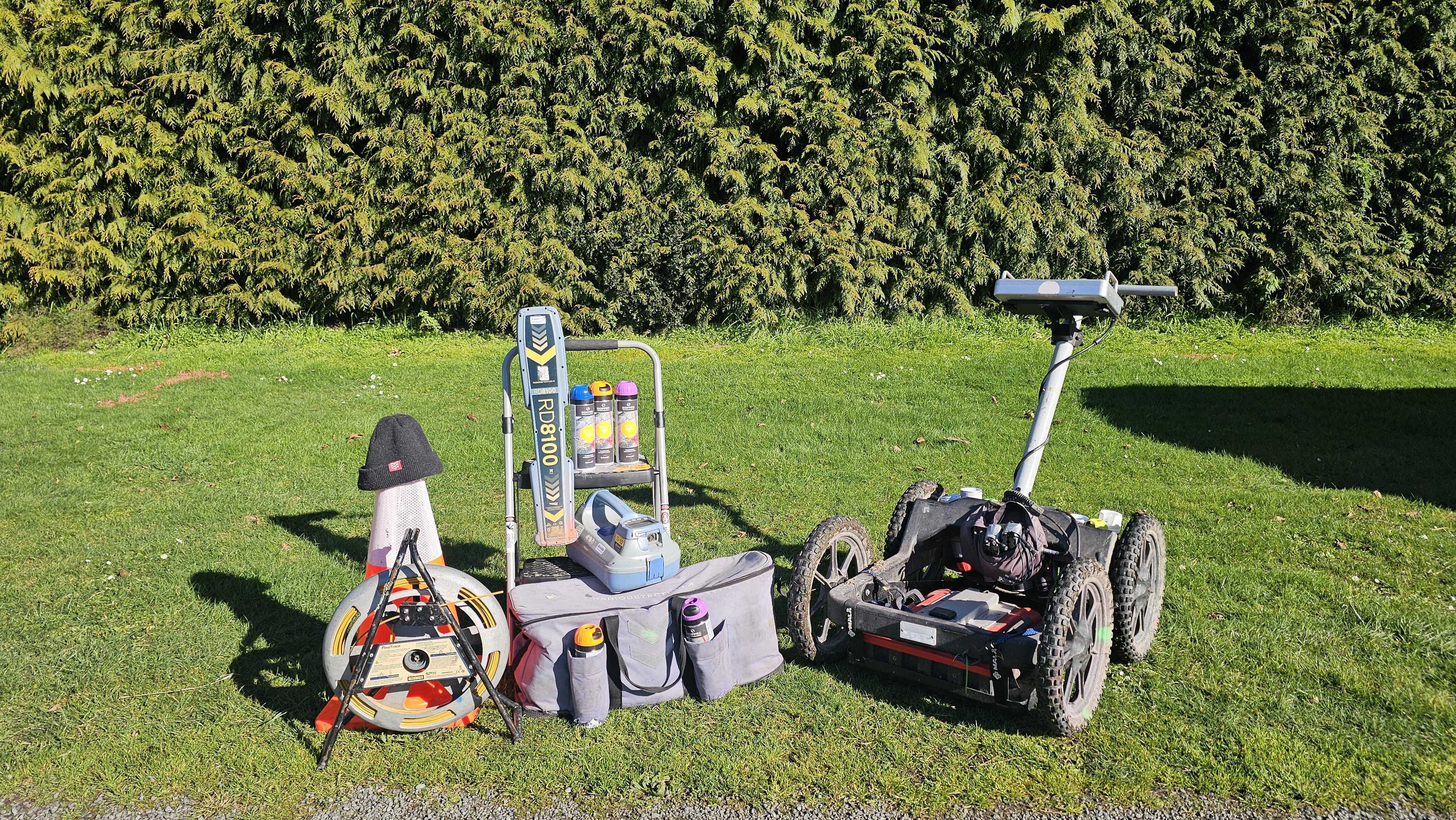
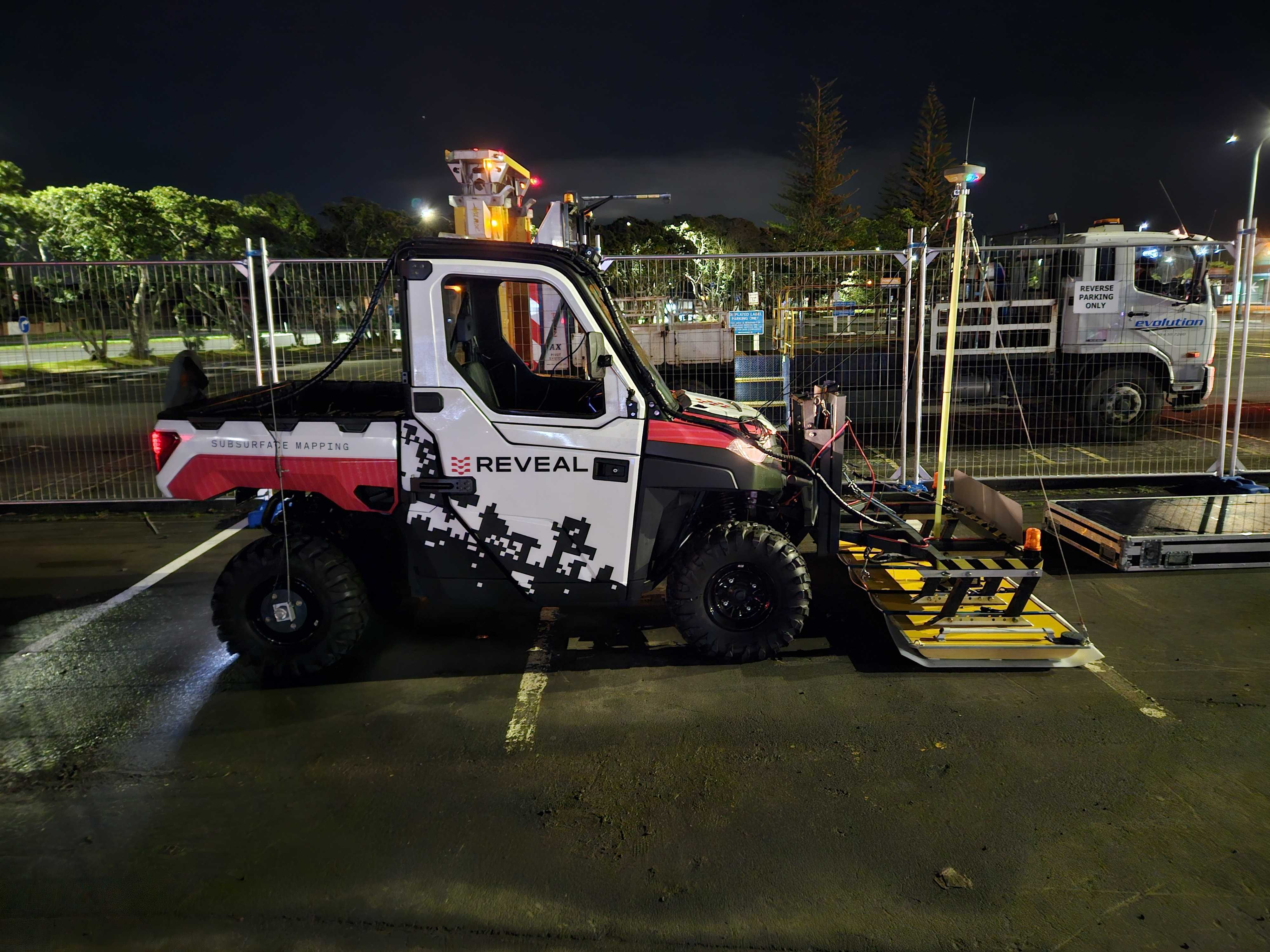
LOCATE
Reduce risk, avoid utility strikes and plan with more certainty.
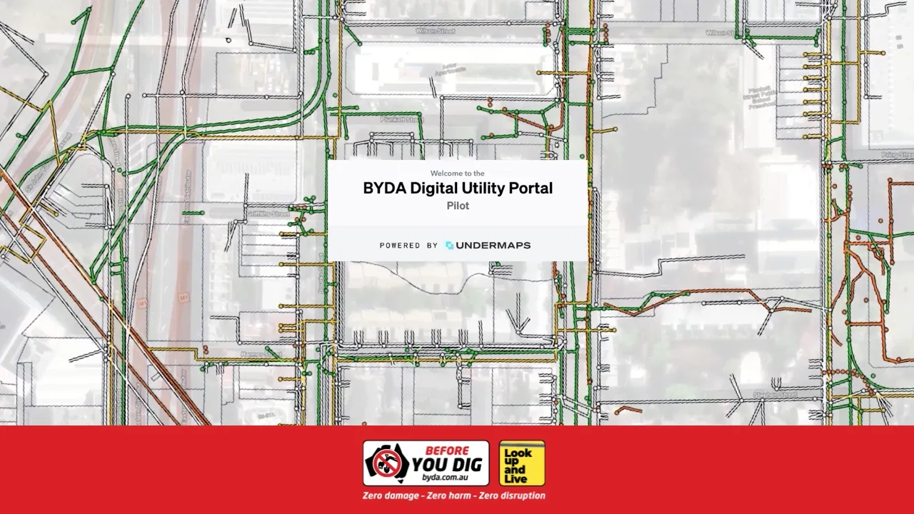
The BYDA DIGITAL UTILITY PORTAL.
BDUP provides a secure, GIS-enabled environment for accessing and coordinating underground utility data across Australia.
Built on Undermaps, it transforms fragmented plans into structured, usable data, enabling faster design, safer delivery, and national-scale coordination.

Engineering Time Savings
9.6 hours saved per request

National Productivity Impact
5.2 million hours unlocked annually

Economic Value Delivered
$330 million in productivity savings

Existing records digitisation
Our Data Services team gather, georeference and digitise all existing utility data plans into any major format.

Utility Network Model Creation

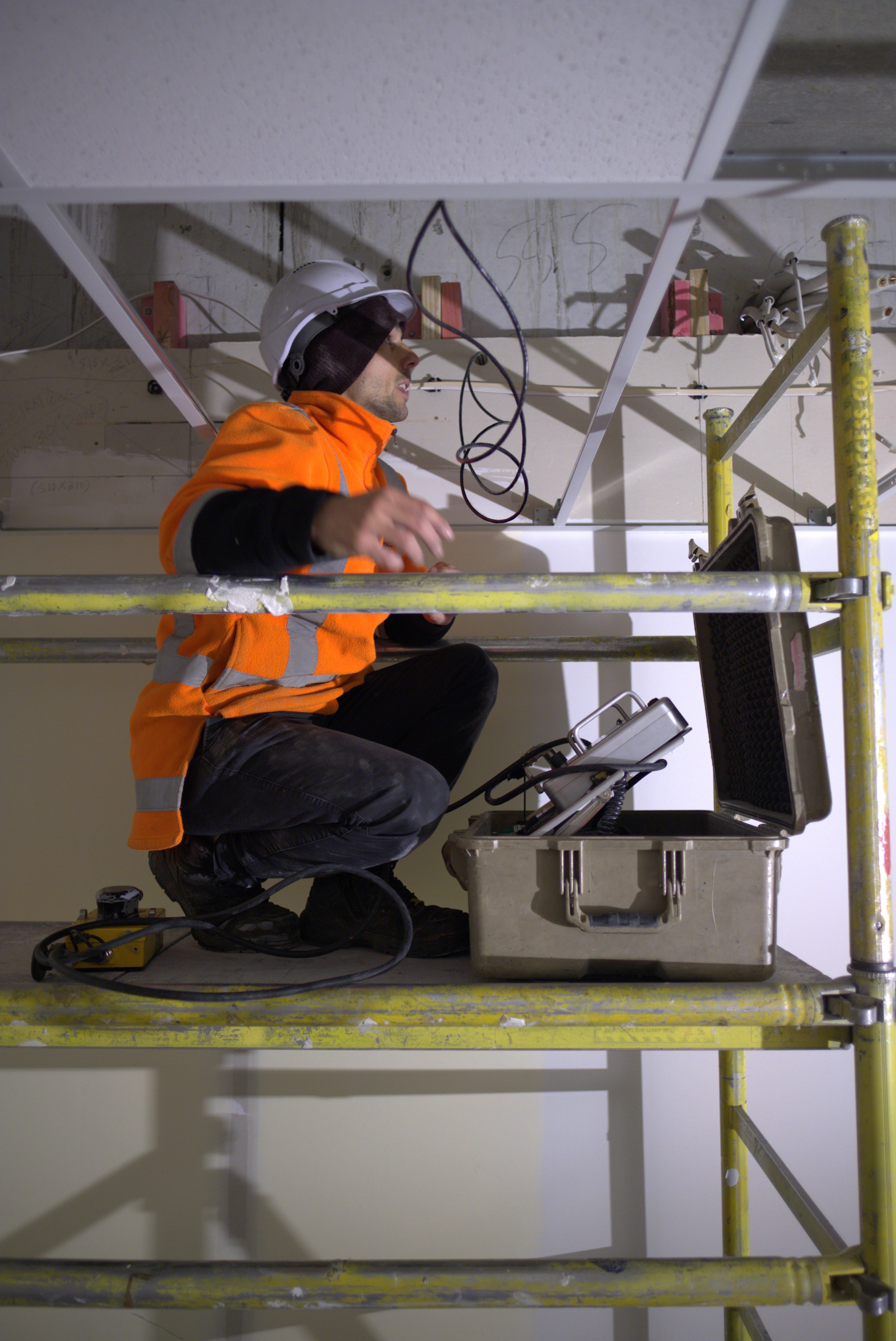
GPR Data Processing
From 3D models of your utilities to intuitive heatmaps of your pavement thickness, Reveal are here to assist you with processing your data.
Underdots
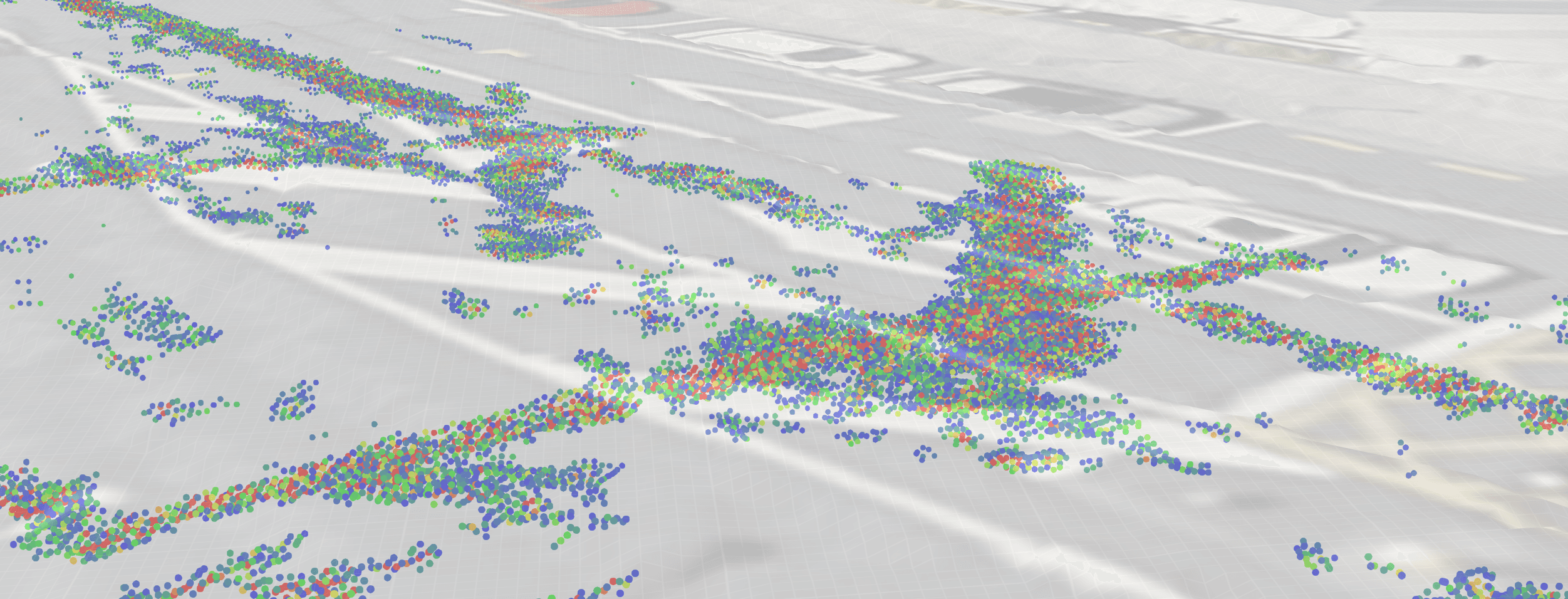
Underdots is a fully-automated data processing service that turns raw multi-channel GPR data into actionable insights.
OUR Platform
Bring together all your underground utility data into a single, intuitive platform.
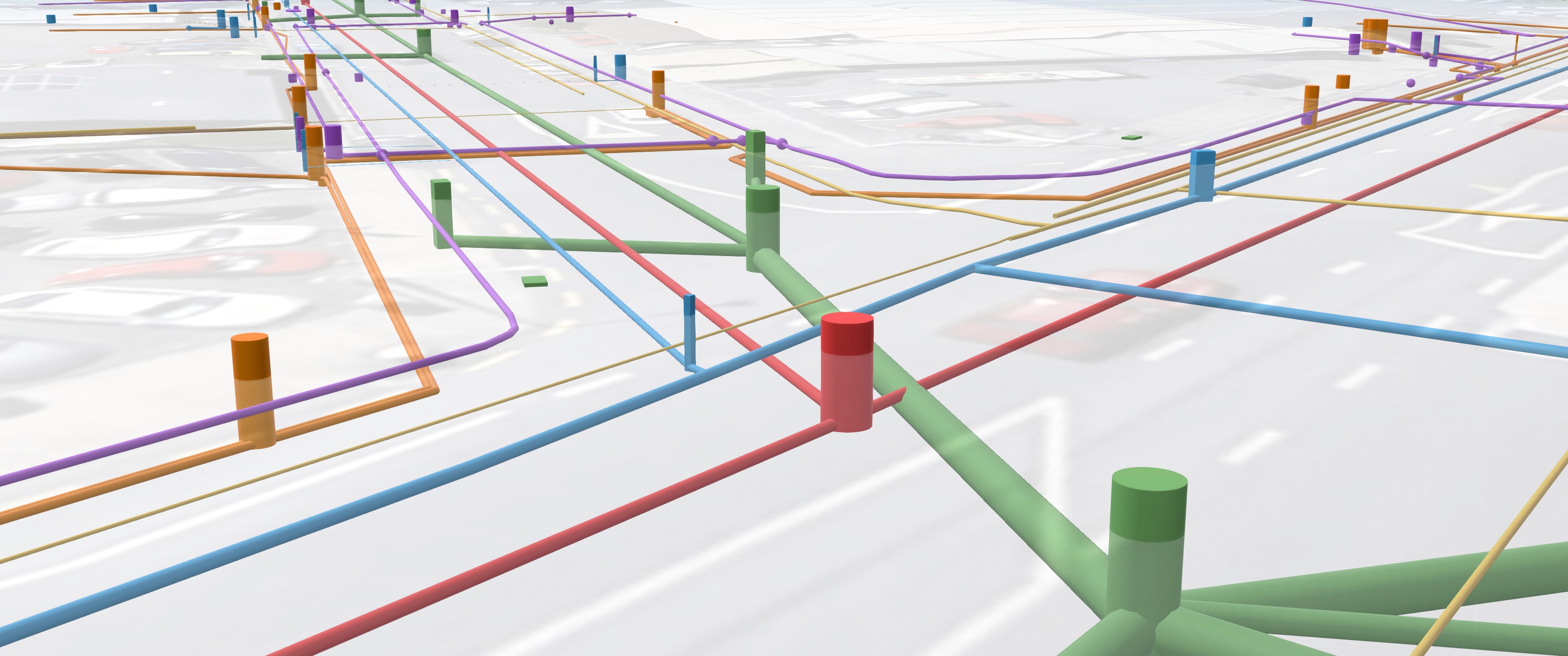
Undermaps combines historic utility plans, utility surveys and asset metadata to create the most accurate and comprehensive view of your underground utilities.


Your Utility Model
The Undermaps Utility Model creates a comprehensive representation of underground assets by integrating all data sources and indicating confidence levels for asset locations.

Access everywhere
From field teams, to design teams and client. Access any data, anywhere, on any device.
Living Data
Dynamic, continuously improving data model that incorporates every new piece of evidence.

Reduce risks, costs and delays
Our mission extends beyond data. We care about saving lives, preserving resources, and optimising efficiency. By providing our customers with critical insights into what lies beneath, we empower them to mitigate risks, reduce costs, and improve efficiency.
Explore Undermaps