
Utility Surveying
Our Process

Capture the Evidence
We use GNSS, Total Stations, LiDAR, phogrammetry and field inspections to precisely capture utility mark-outs, exposed assets, and key surface features.

Verify Connections
Our teams inspect chambers and manholes to confirm underground connections, measure inverts, and map lateral directions for a complete picture.

Create Digital Outputs
Accurate records are provided in your required formats — CAD, GIS, or other design environments — ready for engineering use.

Tech-enabled
Utility Surveying
Our Tools

Survey-grade GNSS
We use high-precision GNSS equipment to record utility locations with centimetre-level accuracy. Ideal for open spaces with good satellite coverage.

Total Station
Total Stations provide pinpoint spatial measurements where GNSS isn’t reliable, such as built-up urban environments or under canopy cover.
LiDAR
Reveal captures dense point clouds with mobile or terrestrial LiDAR, creating detailed 3D models of surface features to support subsurface mapping.

Photogrammetry
We convert site imagery captured by phone or camera into accurate 3D models of exposed trenches, utilities, or surface features, preserving as-built evidence.
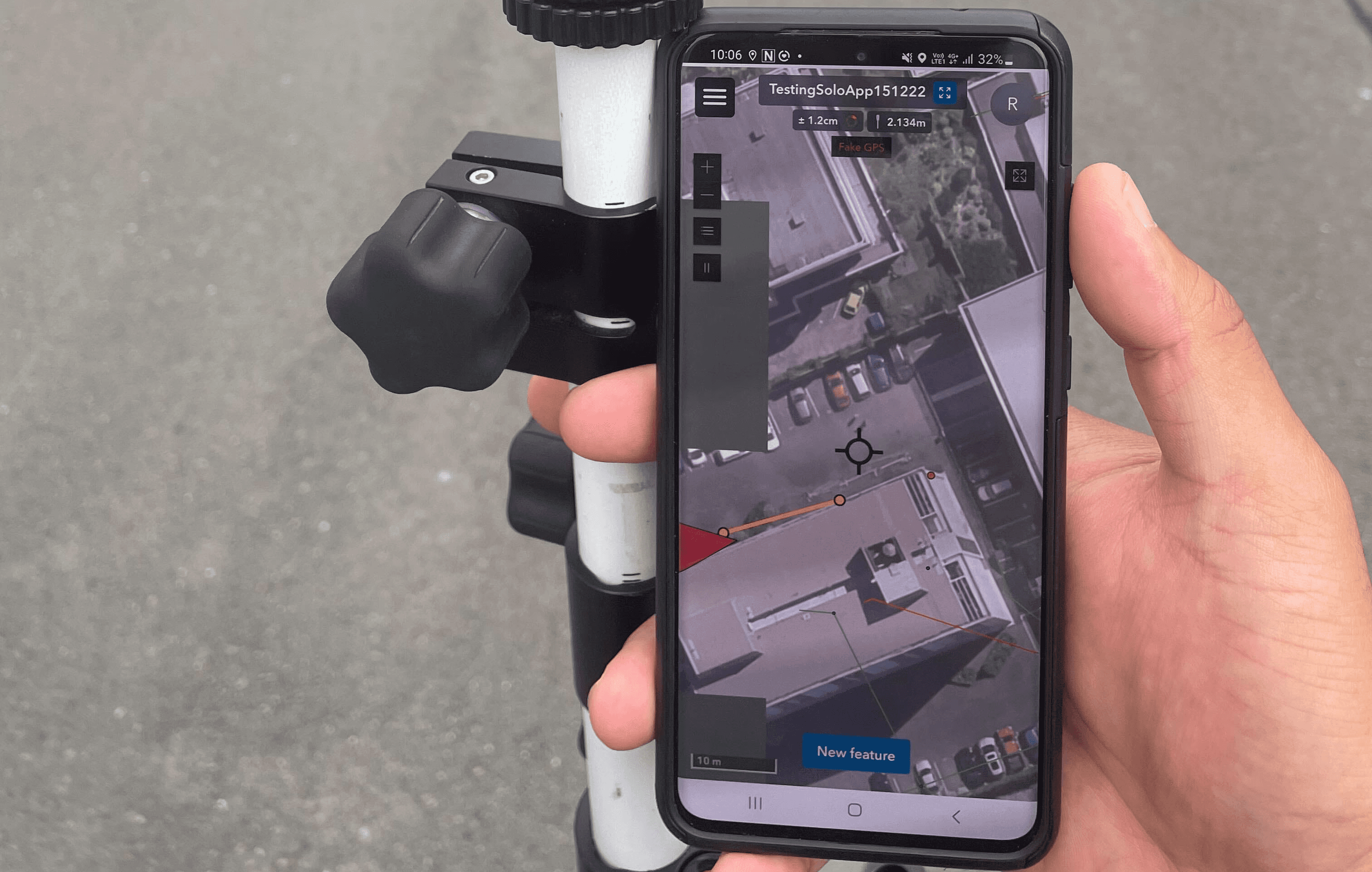
Collect Field App
Utility Surveying
The Reveal Difference
Designed for Design
Our surveys don’t just find utilities — they generate data you can actually design from. Every deliverable is georeferenced, CAD-ready, and structured for rapid integration into your design workflow.
Survey Once, Use Forever
Your utility data shouldn’t sit idle in a PDF. Reveal’s approach preserves full spatial accuracy and evidence chains, enabling downstream use in design, construction, asset management and beyond, all from a single survey.
Built to Evolve
Reveal’s Unified Utility Model isn’t static. As more evidence emerges — a pothole here, a chamber scan there — your data updates. That means your utility map gets smarter every time the ground is opened.


